The Evidence

Documented for years. Photographed. Dated.

Every photo below is dated and location-verified. Originals are preserved for court.

Video

Watch it happen

“Seymour Road Water Damage” — July 10, 2024 storm event

New footage

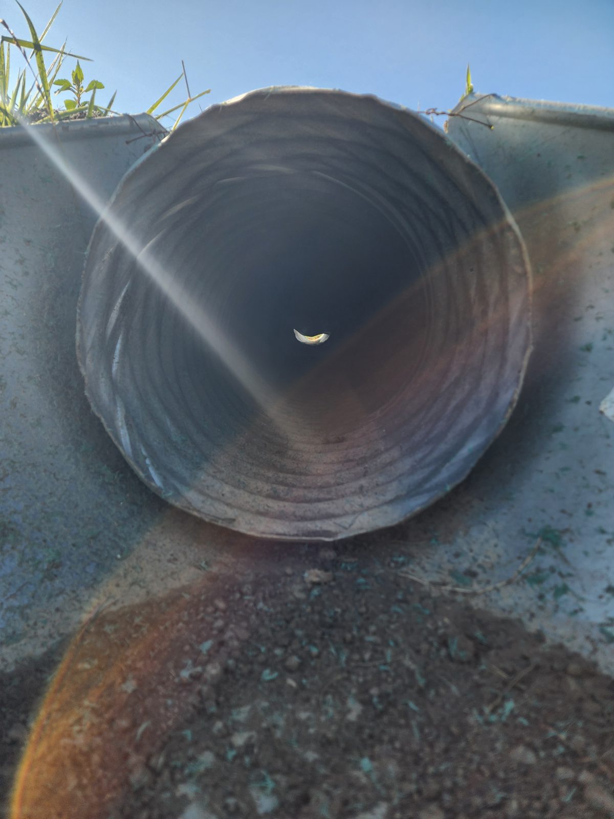
The cross-road culvert, south side

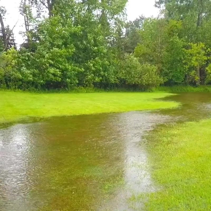
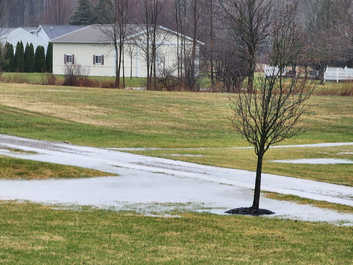
Before the project

The flooding predates the construction
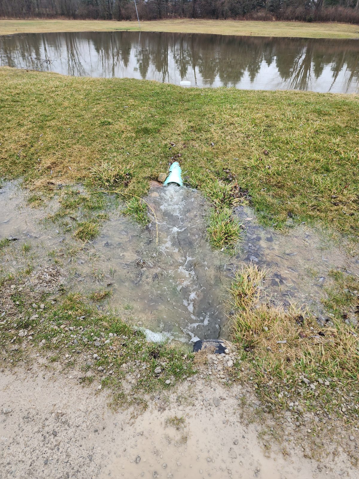
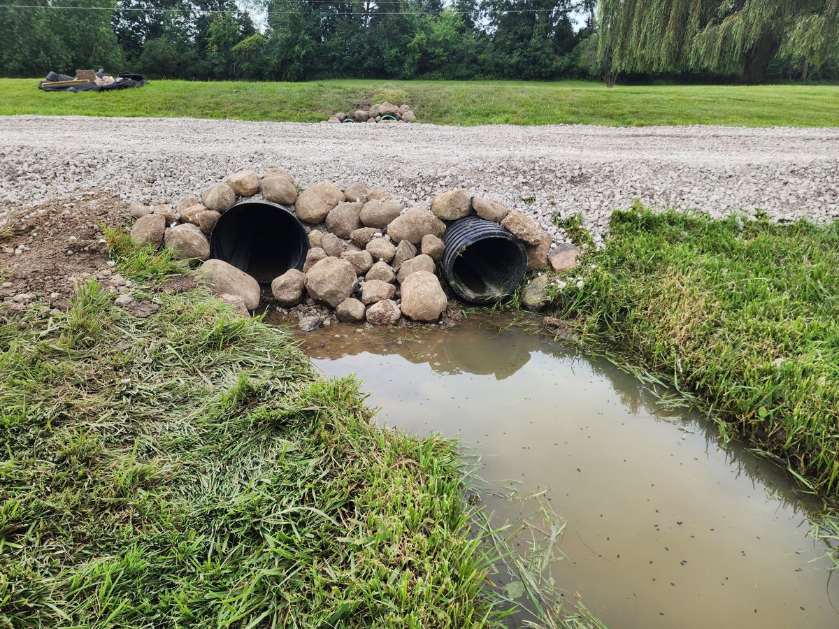
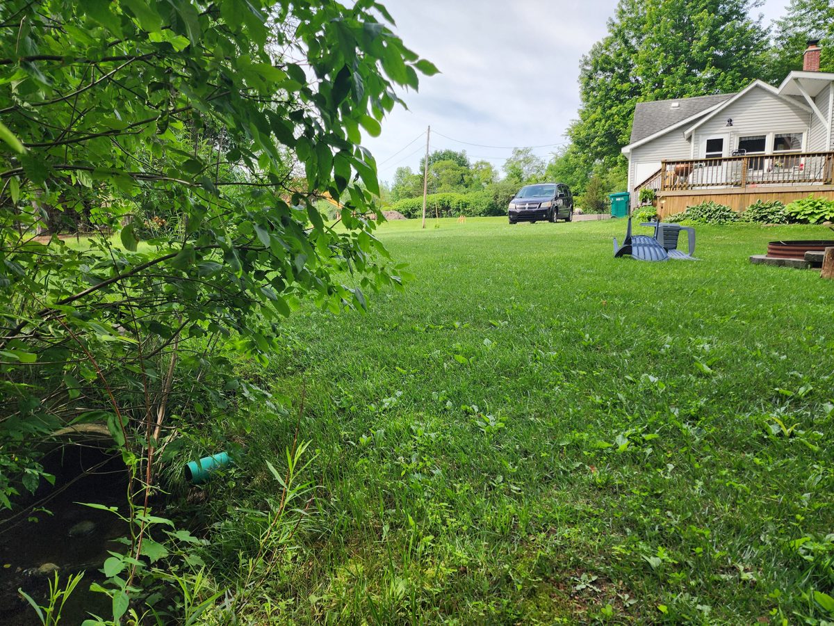
Owner-funded mitigation

We paid to double the outflow. It still can't keep up.

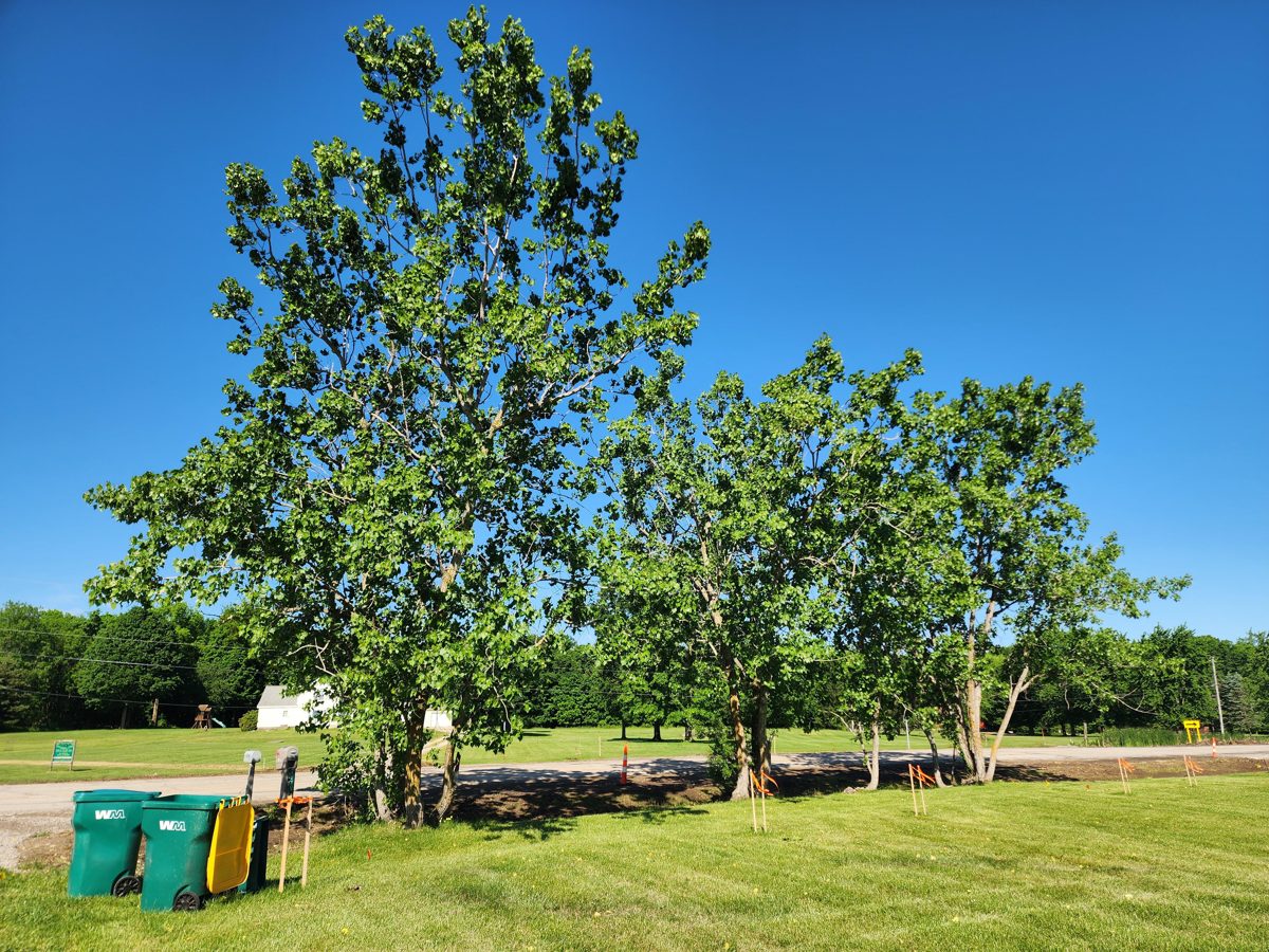
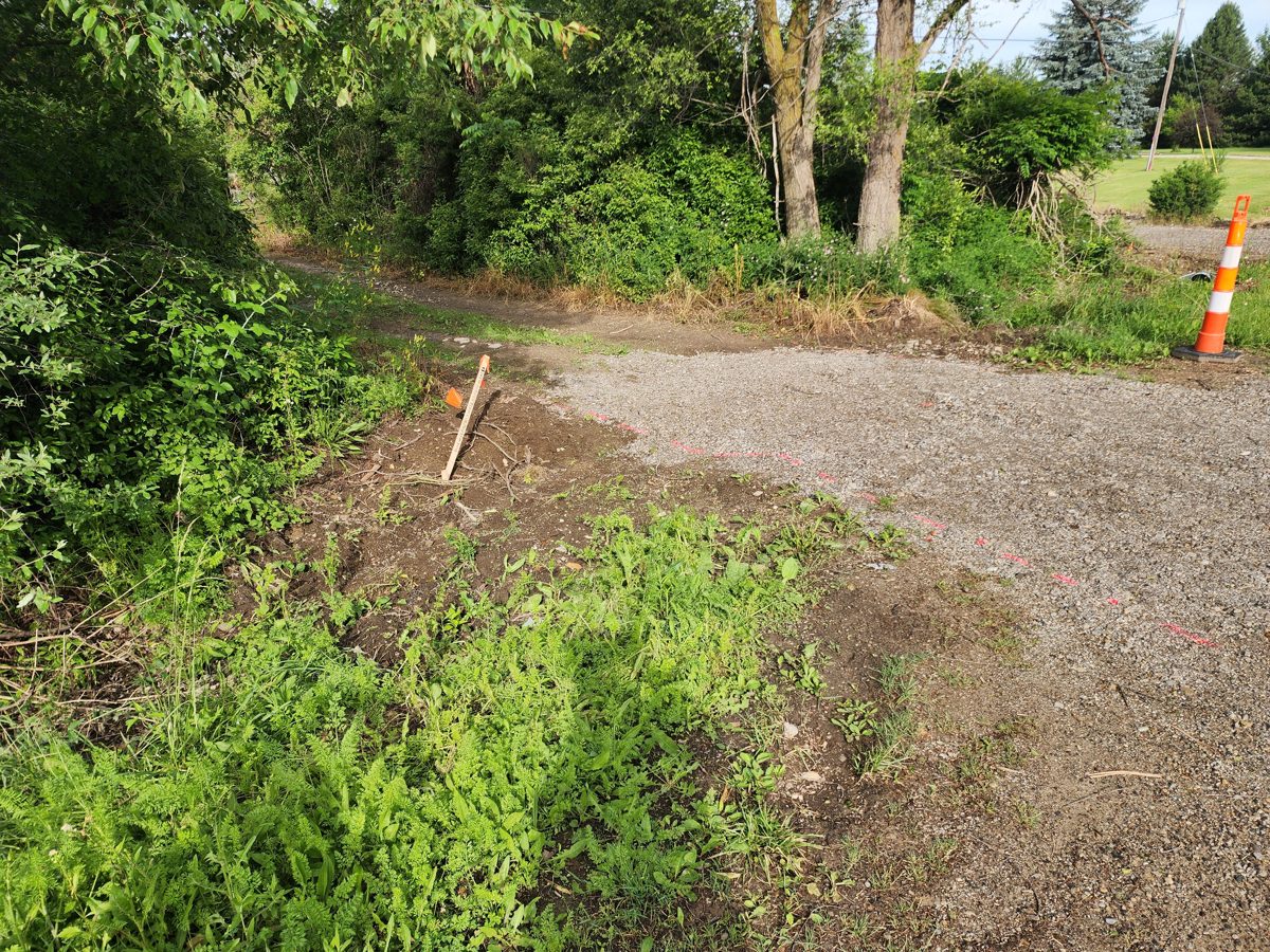
The 2026 construction

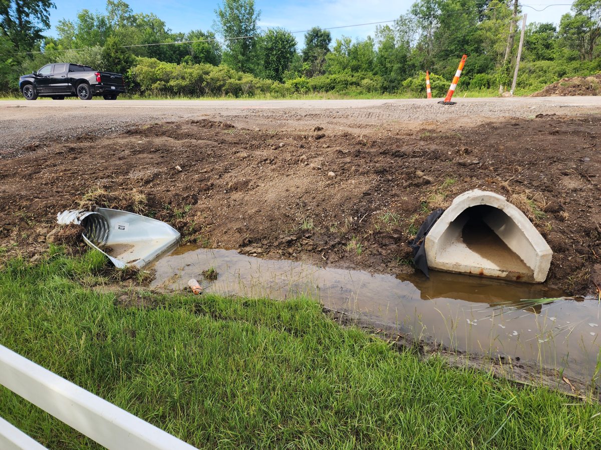
Every change pushes more water onto private land

The big picture

Maps & the compounding cost

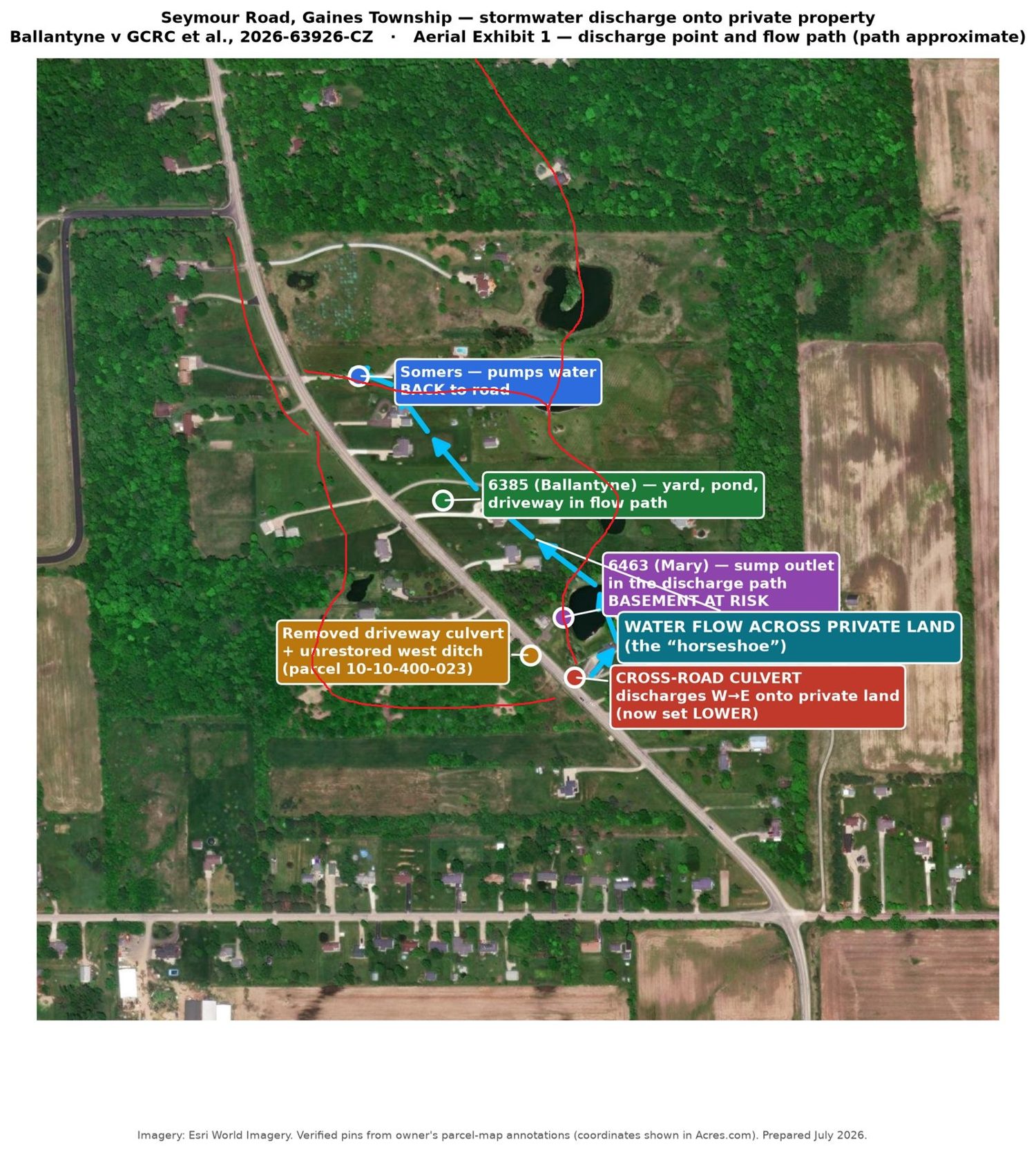
Annotated aerial map
Owner-annotated aerial: the red lines trace the water's path off BOTH sides of the road, rejoining at the north end — the double horseshoe.
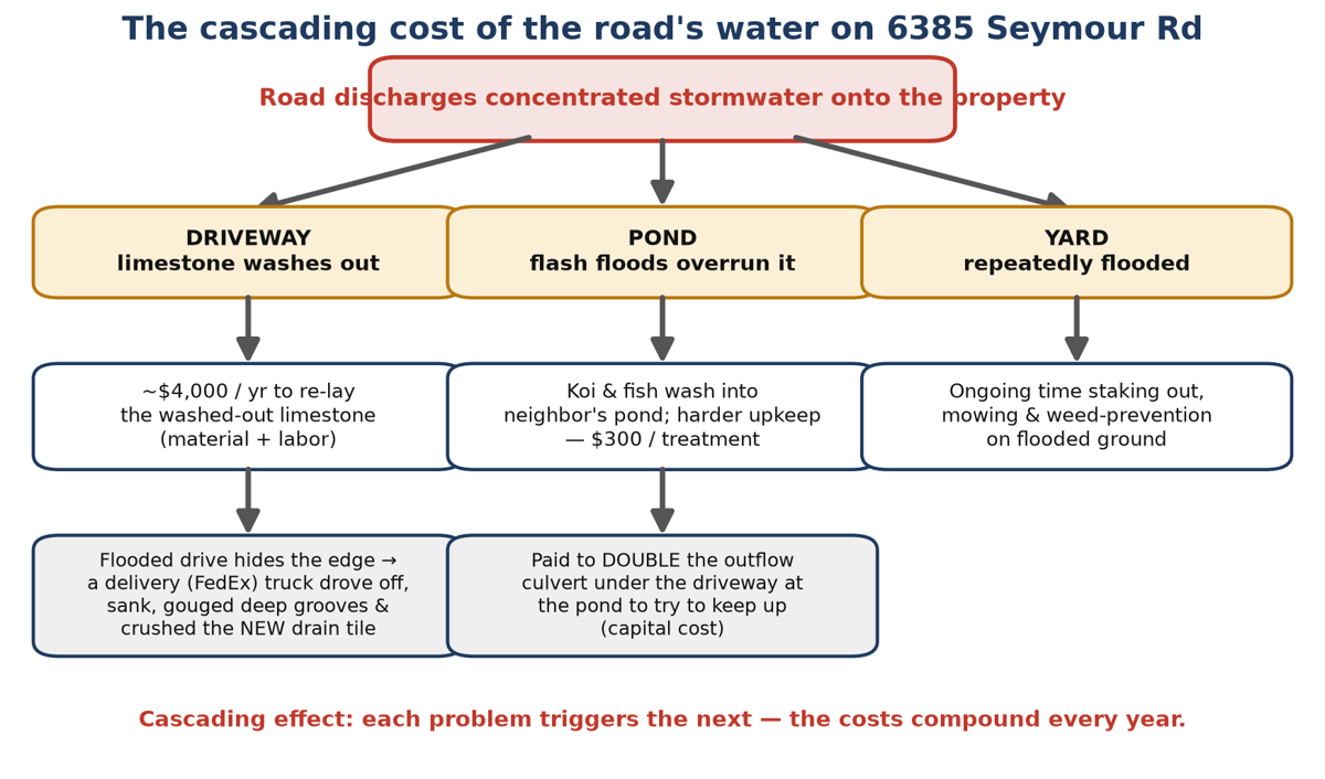
Cascading cost diagram
Each harm triggers the next — the costs compound every year.