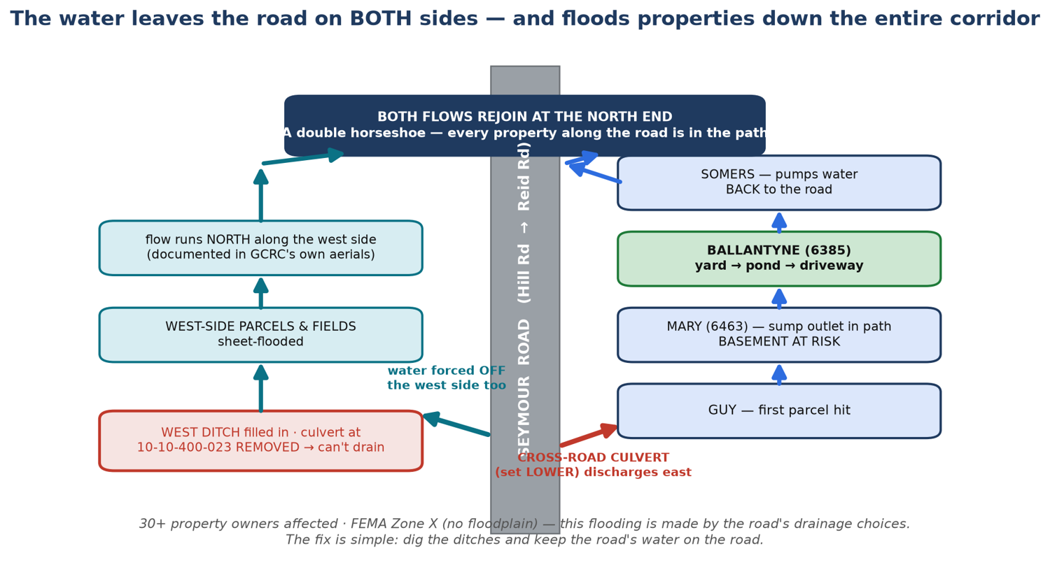
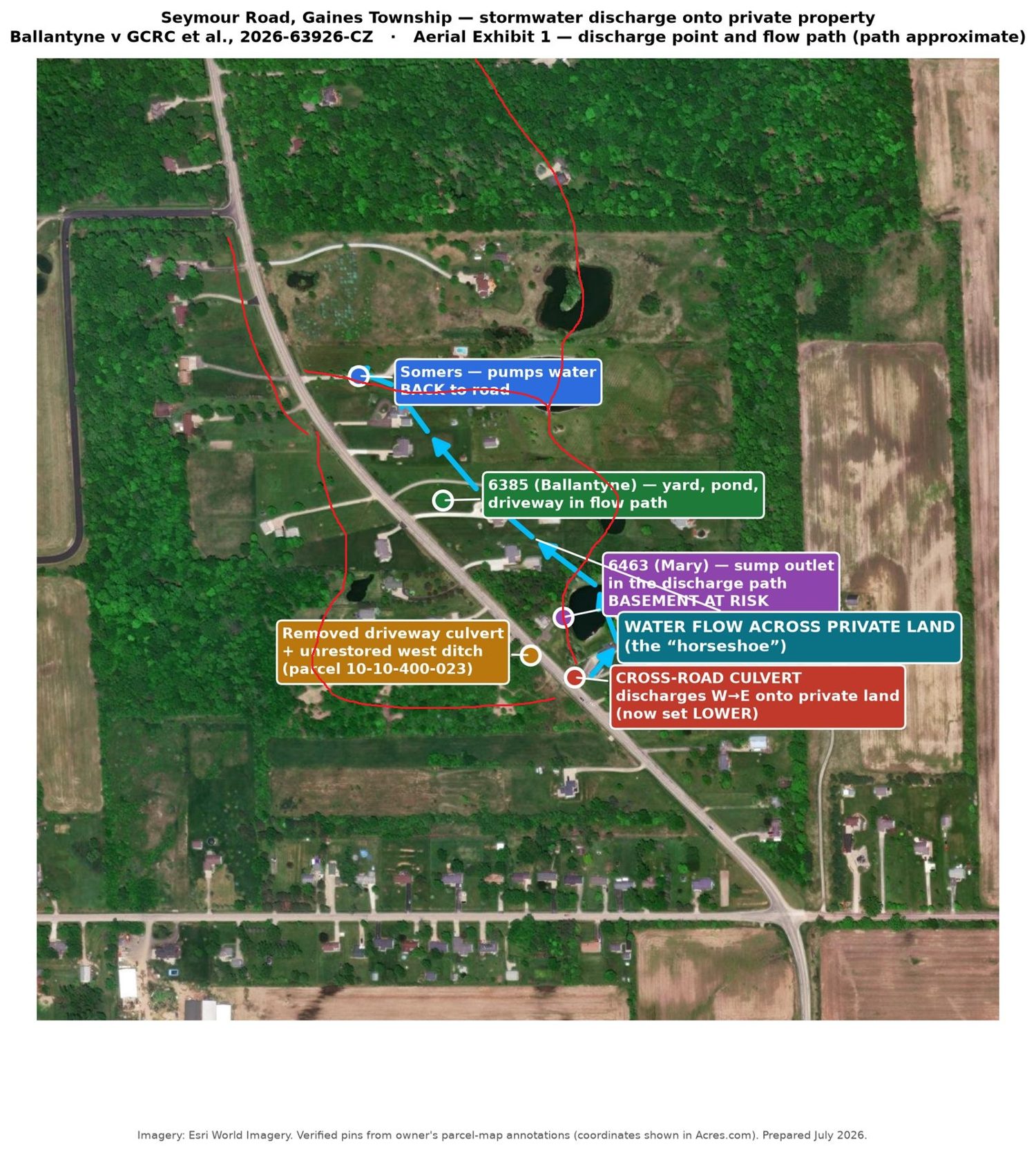
A double “horseshoe” — water leaves the road on BOTH sides, floods the whole corridor, and rejoins at the north end
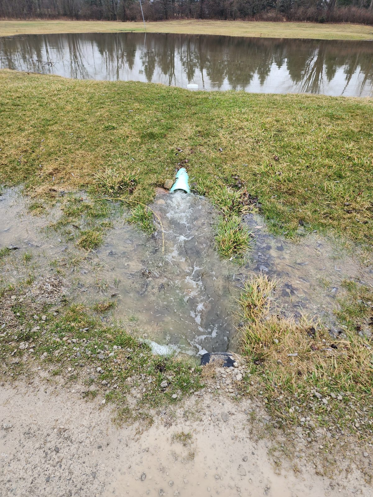
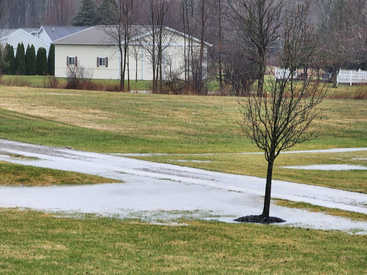
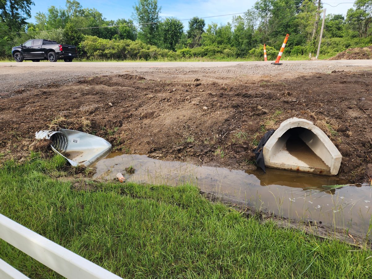
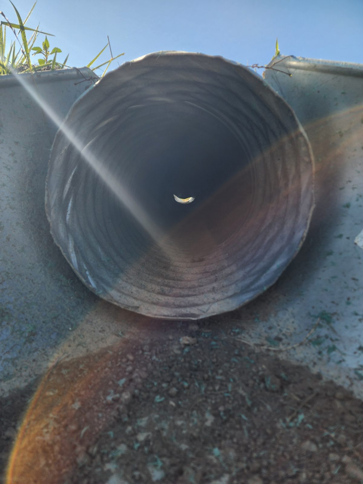
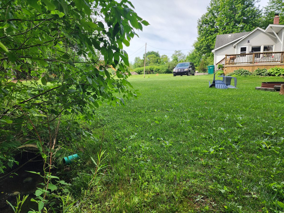
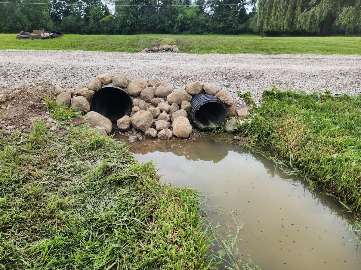
Seymour Road collects stormwater in its west ditch. A cross-road culvert then discharges that water — concentrated — onto private property on the east side. On the east it crosses Guy's land, then Mary's at 6463 (her basement sump outlet sits right in the discharge path), then the Ballantyne property at 6385 (front yard, pond, limestone driveway), then the Somers property — where it's pumped back into the road ditch. And because the west ditch was filled in and its culvert removed, water pours off the west side too — sheeting across the western parcels and running north until both flows rejoin at the north end. A double horseshoe. Every property along the road is in the path.
The 2026 reconstruction makes it worse: the cross culvert was set lower, the west ditch was never restored, and a west-side driveway culvert was removed — forcing even more water across the road onto our properties. The contractor proposed the fix in written change orders. The Road Commission denied them.
FEMA maps every parcel here Zone X — outside any floodplain. This isn't nature. It's plumbing.